
Huila's climate: when to go for each experience
Two rainy seasons, two dry ones and four thermal zones in a single department: how to read Huila's calendar, from the heat of the Tatacoa to the cold of the páramo, and when each Andigena outing makes most sense.
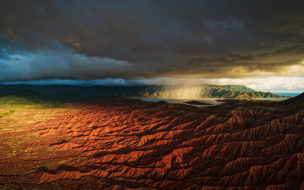
In Huila you can sweat at 40 °C in the morning and shiver below freezing at night without leaving the department. There is no single "best time" for everything; there is a best time for each outing. Here is the calendar, built on IDEAM data and local sources.
Two rainy seasons, two dry ones
Huila has a bimodal rainfall regime. According to Toda Colombia's summary of IDEAM data and the national climate atlas, the two wet seasons run from March to May and from October to December; the main dry season, very marked, falls in the middle of the year, with a second, less distinct dry spell in January and February. The Magdalena valley, home to Neiva, Rivera and the Tatacoa, is the driest zone, with annual totals of 1,000 to 1,500 mm; in the south, municipalities such as Acevedo and Palestina reach 2,500 mm.
Translated into travel terms: June, July, August and, to a lesser degree, January and February offer the best odds of clear skies in the valley. April, May, October and November are the rainy months, which does not stop anyone travelling but does change the conditions on rivers, trails and mountain roads.
Four thermal zones in one department
The same source divides Huila into thermal zones: hot (5,553 km²), temperate (7,754 km²), cold (5,323 km²) and páramo (1,360 km²). Villavieja, in the Tatacoa, records the highest temperatures, above 28 °C on average; San Agustín, at the entrance to the Macizo, sits between 18 and 19 °C; the páramos near the Nevado del Huila drop below 0 °C.
Local figures confirm the staircase. Neiva lies at 442 m with an average of 28 °C (Wikipedia); Rivera at 700 m with 25 °C (town hall); the Tatacoa, 38 km from Neiva, averages 28 °C and passes 40 °C on the harshest days (Wikipedia). Higher up, the páramo belt begins above 3,000 m, with temperatures below 10 °C and 800 to 2,000 mm of rain a year (Wikipedia, Clima de Colombia). In one week you can pass through all four.
Experience by experience
Waterfalls and canyoning (Rivera, Neiva, Paicol). The descents at El Duende, Monasterio and the Cascada del Amor run all year; in the dry season the flow drops and the rock is drier, in the rains the show is bigger. Oscar decides each departure on the day's flow: that technical call is not made from an office.
Rafting on the río Páez. The water rules. The April-May and October-November rains raise the river; the dry season lowers it. Departures are scheduled on the guides' reading of the river.
Tatacoa. Best at dawn or dusk in any month, and on moonless nights for the sky. Avoid midday: at 40 °C the dry forest is unforgiving.
Páramo (Puracé, Macizo, Murillo). Cold at any hour. In the dry season you have better odds of seeing the condor and clear lagoons; in the rains, fog and muddy trails. Layers, a waterproof shell and gloves, always.
Birdwatching (El Encanto). The birds are there all year; dry mid-year mornings make photography easier.
Nuquí, in Chocó. Here the calendar is set by the humpback whales, present along Colombia's Pacific coast between July and October (Cambio Colombia). The Chocó biogeographic region is one of the rainiest on the planet, with rainfall that can exceed 8,000 mm a year (Toda Colombia), and Nuquí's temperature stays between 25 and 28 °C year round (Weather Spark). It always rains: you travel with it.
What to pack by month
In the valley: light clothing, a hat, sunscreen and two litres of water per person. In the mountains: three layers, a waterproof jacket, closed shoes and a dry bag for your phone. In the rains, add a poncho and allow an extra hour on any rural road. Phoenix's FAQ has a question on the subject, "Quel temps fait-il à Rivera ?": the short answer is that at 700 metres the climate is warm all year, with cooler nights.
With Andigena
If your trip depends on a season, the strictest one is whale season: the Chocó biogeographic expedition to Nuquí makes sense between July and October. The rest of the catalogue is at /experiencias/. Andigena is the official adventure partner of Phoenix Initiative Colombia.
With Phoenix
Phoenix Oasis is a fitness oasis created exclusively for women in Rivera, Huila, at the gateway to the Colombian Amazon. Announced opening 30 June 2028, pre-booking with no payment; participants are called Amazons. The FAQ answers "Quel temps fait-il à Rivera ?": becomephoenix.com/en/faq. Phoenix has two distinct entities, in Colombia and in France.
Sources
- Toda Colombia, Clima del Huila (IDEAM, climate atlas): https://www.todacolombia.com/departamentos-de-colombia/huila/clima.html (consulted 4 October 2026)
- Rivera town hall, Información del municipio: https://www.rivera-huila.gov.co/MiMunicipio/Paginas/Informacion-del-Municipio.aspx (4 October 2026)
- Wikipedia, Neiva: https://es.wikipedia.org/wiki/Neiva (4 October 2026)
- Wikipedia, Desierto de la Tatacoa: https://es.wikipedia.org/wiki/Desierto_de_la_Tatacoa (4 October 2026)
- Wikipedia, Clima de Colombia: https://es.wikipedia.org/wiki/Clima_de_Colombia (4 October 2026)
- Cambio Colombia, Temporada de ballenas 2026: https://cambiocolombia.com/pais/articulo/2026/8/temporada-de-ballenas-2026-asi-se-dinamiza-el-turismo-en-el-pacifico-colombiano-entre-julio-y-octubre (4 October 2026)
- Toda Colombia, Clima del Chocó: https://www.todacolombia.com/departamentos-de-colombia/choco/clima.html (4 October 2026)
- Weather Spark, Nuquí average climate: https://es.weatherspark.com/y/20693/Clima-promedio-en-Nuqu%C3%AD-Colombia-durante-todo-el-a%C3%B1o (4 October 2026)
- Phoenix Oasis, FAQ: https://becomephoenix.com/fr/faq (4 October 2026)
Sources
- https://www.todacolombia.com/departamentos-de-colombia/huila/clima.html
- https://www.rivera-huila.gov.co/MiMunicipio/Paginas/Informacion-del-Municipio.aspx
- https://es.wikipedia.org/wiki/Neiva
- https://es.wikipedia.org/wiki/Desierto_de_la_Tatacoa
- https://es.wikipedia.org/wiki/Clima_de_Colombia
- https://cambiocolombia.com/pais/articulo/2026/8/temporada-de-ballenas-2026-asi-se-dinamiza-el-turismo-en-el-pacifico-colombiano-entre-julio-y-octubre
- https://www.todacolombia.com/departamentos-de-colombia/choco/clima.html
- https://es.weatherspark.com/y/20693/Clima-promedio-en-Nuqu%C3%AD-Colombia-durante-todo-el-a%C3%B1o
- https://becomephoenix.com/fr/faq
Related articles
Journal · AI image
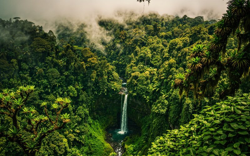
The Chocó biogeographic region: one of the most biodiverse places on Earth
187,400 km² from Panama to Peru, 9,000 vascular plants, the rainiest place in Colombia and 25 % endemic species. What it means to travel to Nuquí, and why ecological restoration is the Phoenix Foundation's first pillar.
Journal · AI image
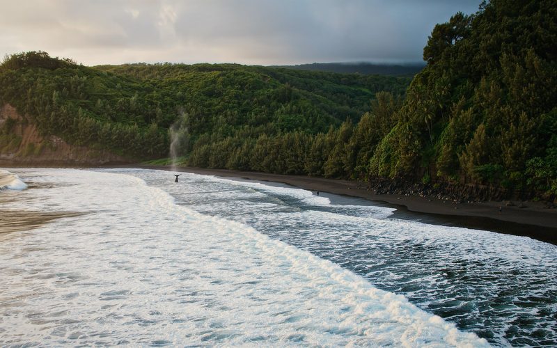
Humpback whales in Nuquí: the July to October season
Every year humpbacks travel more than 8,000 km from Antarctica to give birth in the Colombian Pacific. Dates, Parques Nacionales rules (200 metres, 30 minutes, five boats) and what Andigena's Nuquí expedition looks like.
Journal · AI image
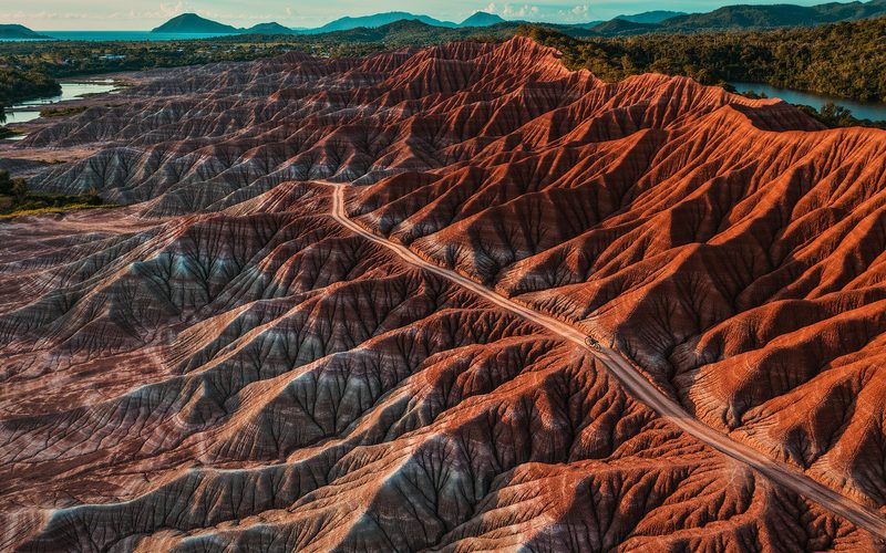
Semana Phoenix: seven days of adventure with Phoenix and Andigena
The real Semana Phoenix programme as recorded in Andigena's guide: the Tatacoa by bike, Rivera, horse riding at Finca Don Pedro, paragliding at the Mano del Gigante and rafting at Paicol, with transport and safety handled by Phoenix. No invented dates.